Danbulla National Park and State Forest
-
Email
-
Phone
-
Website
-
Address
Danbulla Road
Lake Tinaroo, Queensland 4872, Australia -
Social
Danbulla National Park and State Forest
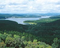
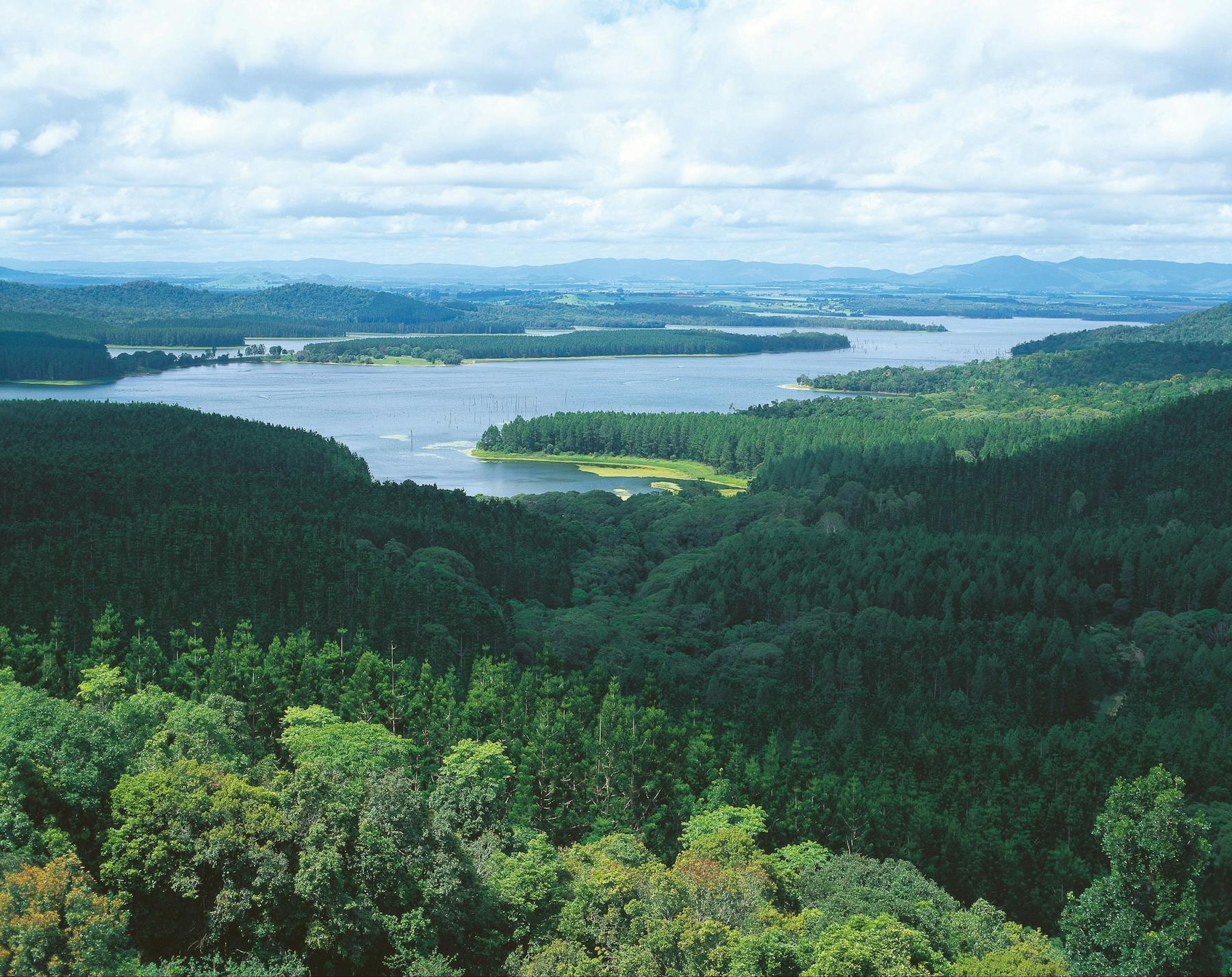
Danbulla, featuring crater lakes, huge strangler figs, lakeside camping and walks through World Heritage listed-rainforest, is nestled between the Tinaroo and Lamb ranges and stretches along the banks of picturesque Lake Tinaroo.
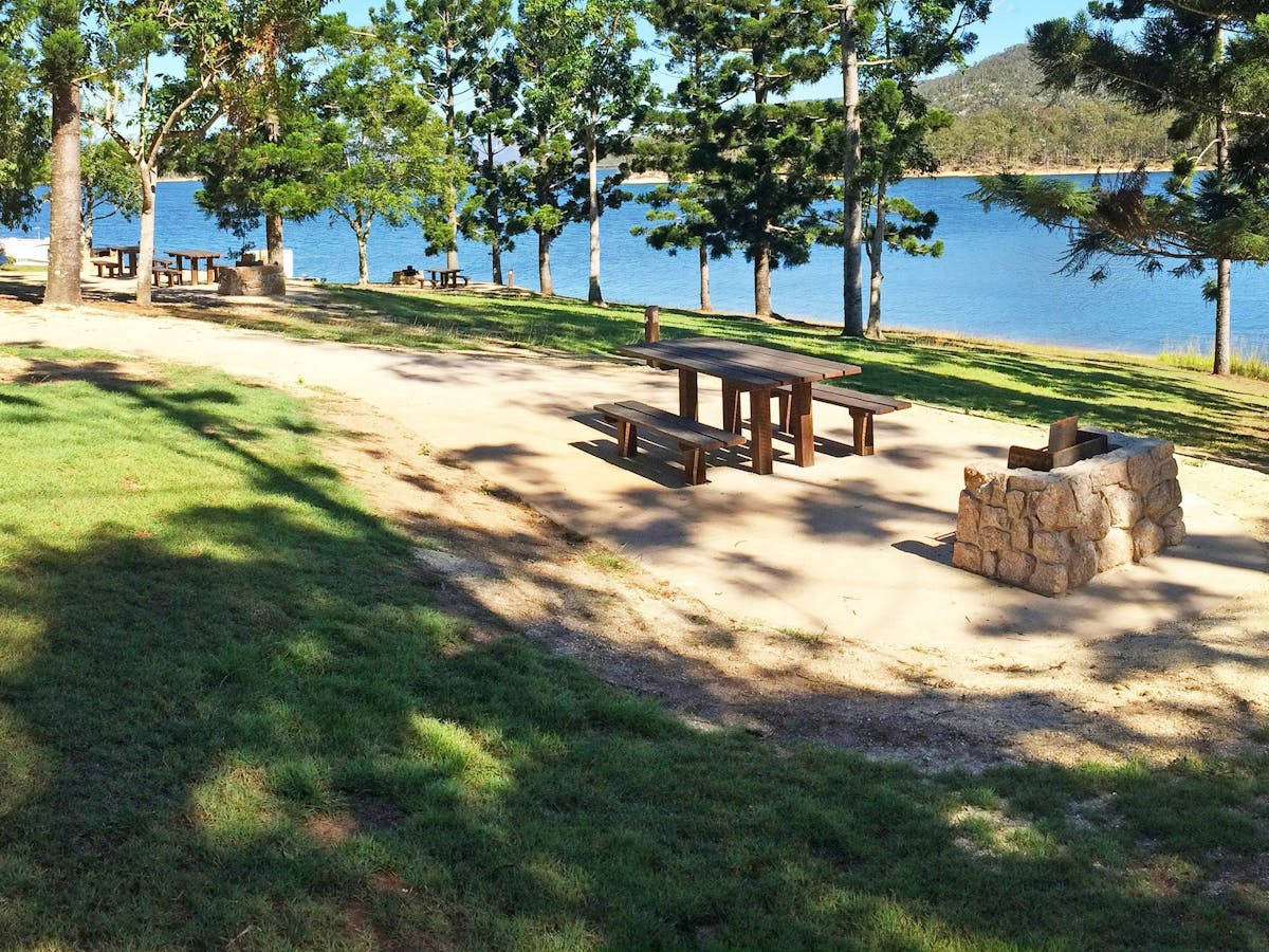
Spend the day exploring the walking tracks, lookouts, drives and picnic areas along the 28 kilometre Danbulla Drive.
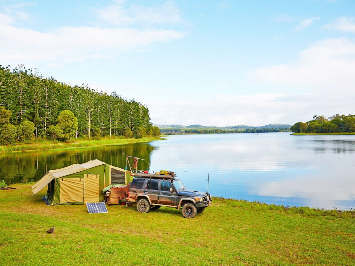
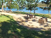
Choose a secluded camping site at School Point or let the kids kick a football around the grassed area at The Chimneys day-use area. Enjoy a short walk through the upland rainforest to Mobo Creek Crater or take time to marvel at the size of the Cathedral fig tree.
Get wet and active on the waters of Lake Tinaroo—fishing, swimming, kayaking, sailing and waterskiing are all popular. With a stocked impoundment permit you can fish year round for the lake’s monster barra.
Take care when driving. Danbulla Road is narrow, unsealed and has sharp curves and rough surfaces. Be aware of other vehicles, logging trucks, pedestrians and wildlife on the road. The Tablelands Regional Council has erected signs indicating this road is unsuitable for caravans.
Location
Facilities
Does not cater for people with access needs.
-
Barbeque
-
Carpark
-
Family friendly
-
Picnic area
-
Public toilet
Danbulla National Park and State Forest