Travel Advice

Stay safe while you travel

Stay Safe

Tropical North Queensland has a myriad of adventures to be had, but it’s important to stay safe and take necessary precautions. During weather events, adhere to guidance provided by the local council of the region you’re in. Council disaster dashboards listed below.

Main Roads

Major roads have reopened, including the Palmerston Highway, Bruce Highway, Kuranda Range Road, Gillies Highway, and Captain Cook Highway. Before you travel, please check Department of Transport & Main Roads alerts. 

More Regional Council Dashboards

Tropical North Queensland spans approximately 380,000km² and is made up of 25 local council areas. As such, what’s going on in one area of the region can be very different to the next. Refer to the relevant dashboards depending on where you are planning to travel.

Burke Shire Council Road Conditions

Cairns Regional Council Dashboard

Carpentaria Shire Council Road Report

Cassowary Coast Regional Council Dashboard

Cook Shire Council Dashboard (Cape York)

Douglas Shire Council Dashboard

Etheridge Shire Council Road Conditions

Mareeba Shire Council Dashboard

Tablelands Regional Council Dashboard

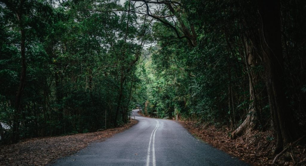
road in the daintree

Parks & Road Closure Information

Queensland Parks and roads may close teporarily due to severe weather and general maintenance. Before you hit the road, check the latest road conditions and advice to avoid unexpected hazards on your drive. Check Queensland Parks and never venture into out of bounds zones, flooded waters or dangerous areas to prevent serious injury or death.

Dept of Transport & Main Roads alerts
Queensland Road Conditions (RACQ) 
Queensland Park alerts

Family at Cairns Esplanade Lagoon

Useful Travel Tips from A-Z

Find out all you need to know about Australian travel and exploring Tropical North Queensland below.

Find out more

Subscribe to
our newsletter

Opt in below to start receiving inspiration straight to your inbox

Subscribe

* indicates required