TNQ Writer
The Misty Mountain trails consist of a number of scenic rides from the coast to the rainforest. Ride the wilderness tracks and explore the Cassowary Coast with these hot hints.
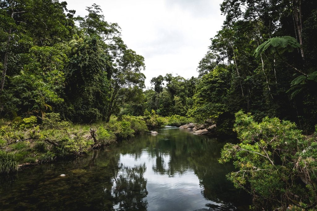
Although the same by name, the Misty Mountains aren’t to be mistaken for those of fictional pop culture synonymous with Lord of the Rings. Those tales, however, could translate into present-day terms when talking about Tropical North Queensland’s Misty Mountains and surrounding townships.
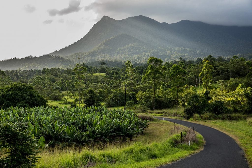
Located a mere 90 kilometres south of Cairns, the Cassowary Coast region booms with banana and sugar cane trade, producing close to 80% of Australia’s yellow finger-like fruit. Rich in wildlife, the dense Wet Tropics rainforest is flourishing and to little surprise. While a lot is known about the regions flora and fauna, many of the trails that snake their way along the forest floor leave a lot to be discovered – hence the mystery.
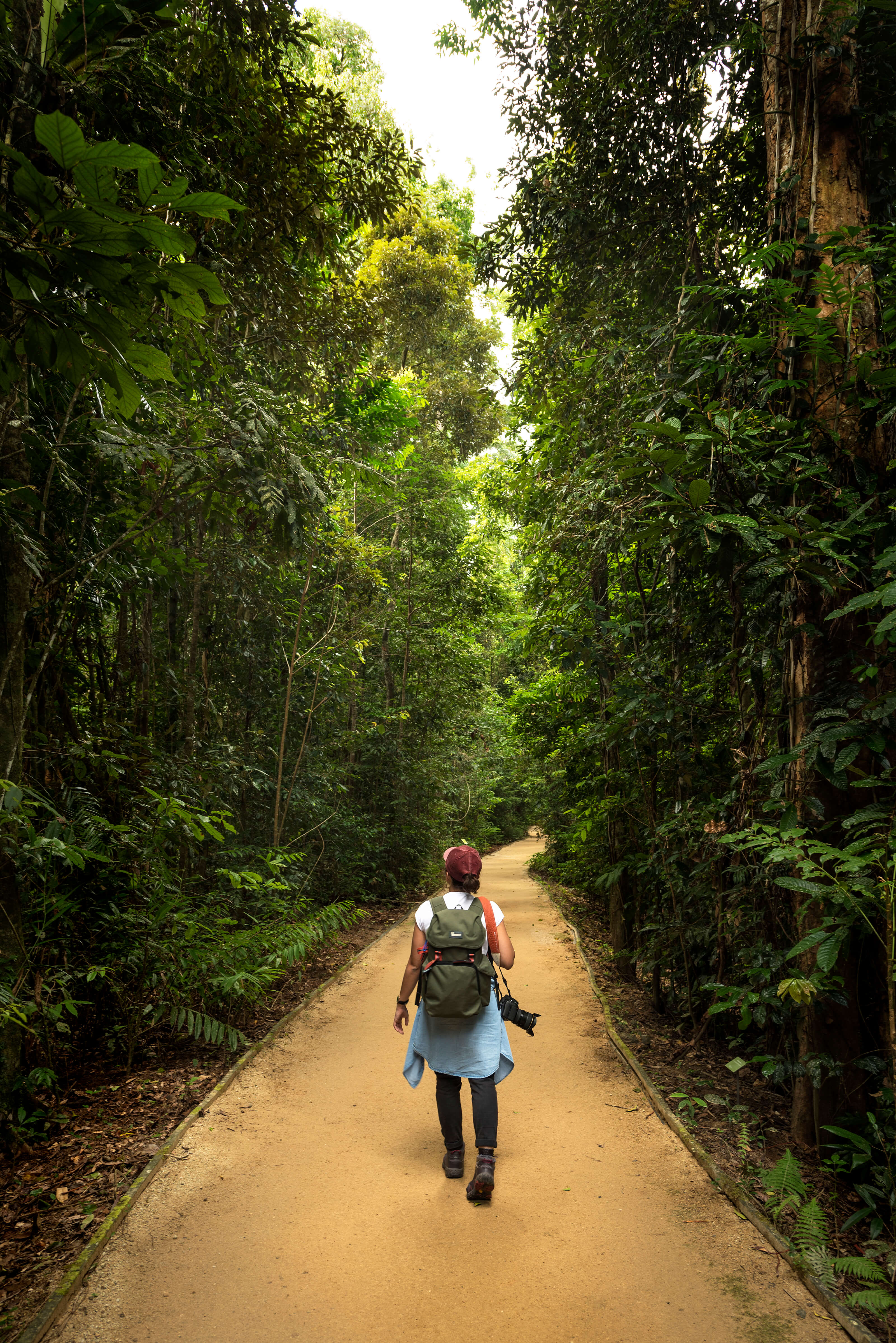
It's no wonder why they're called the Misty Mountain Trails
It's no wonder why they're called the Misty Mountain Trails

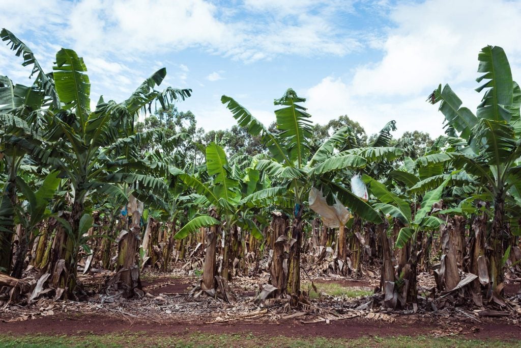
80% of Australia's bananas are produced on the Cassowary Coast
80% of Australia's bananas are produced on the Cassowary Coast
There are as many mountain bike trails as there are banana farms
There are as many mountain bike trails as there are banana farms
Known for its Art Deco, Innisfail is the gateway to the Misty Mountains and also happens to be the largest town on the Cassowary Coast. Situated between Cairns and Mission Beach, accessing the area is all but a short drive from either town. It’s hard to imagine that the thriving township was nearly destroyed by a tropical cyclone a little over ten years ago.
As easy as it was to spend time walking the streets, we came for the literal jungle rather than the concrete version, so down the Bruce Highway and into the mountains we venture. Accessing the bush via the northern side just out of Innisfail seemed to be the most logical option, as the trails seemingly all split off the K-Tree Road trail.
Trails all split off the K-Tree Road trail
Trails all split off the K-Tree Road trail
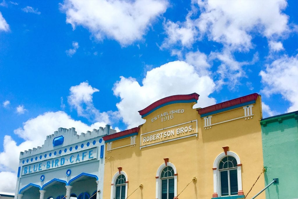
Known for its Art Deco, Innisfail is the gateway to the Misty Mountains
Known for its Art Deco, Innisfail is the gateway to the Misty Mountains
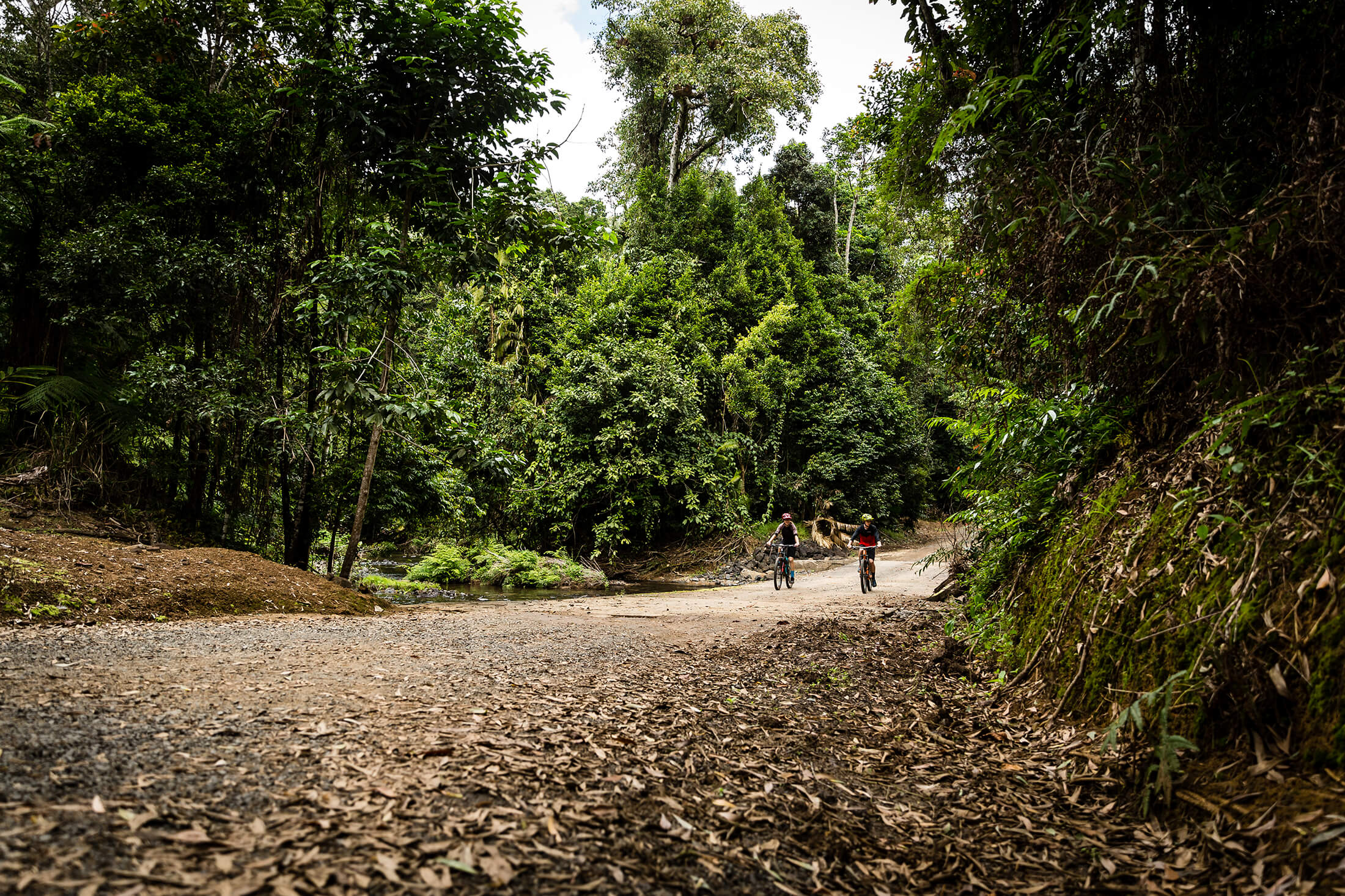
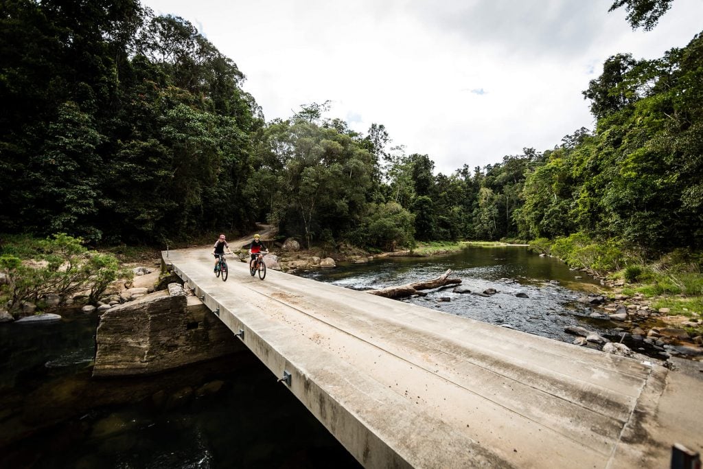
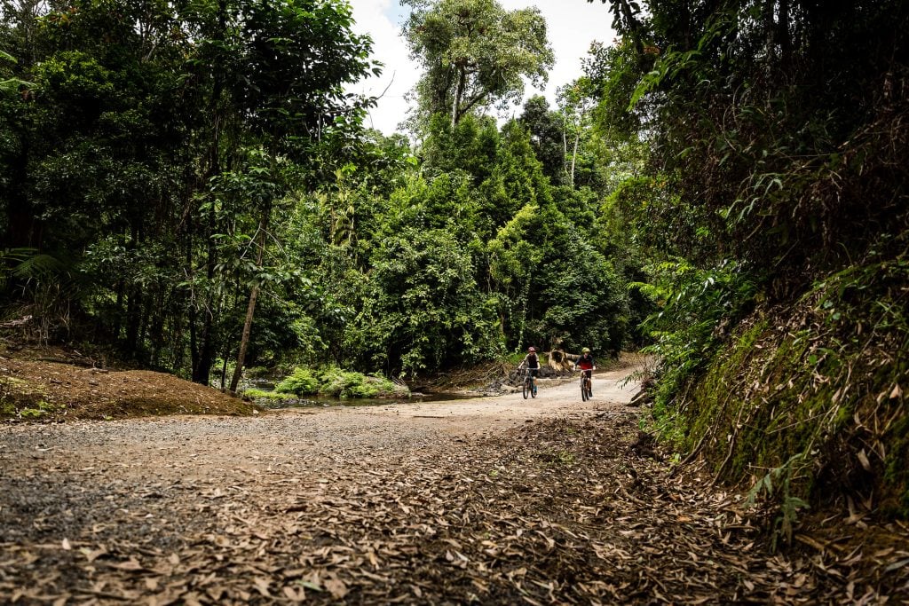
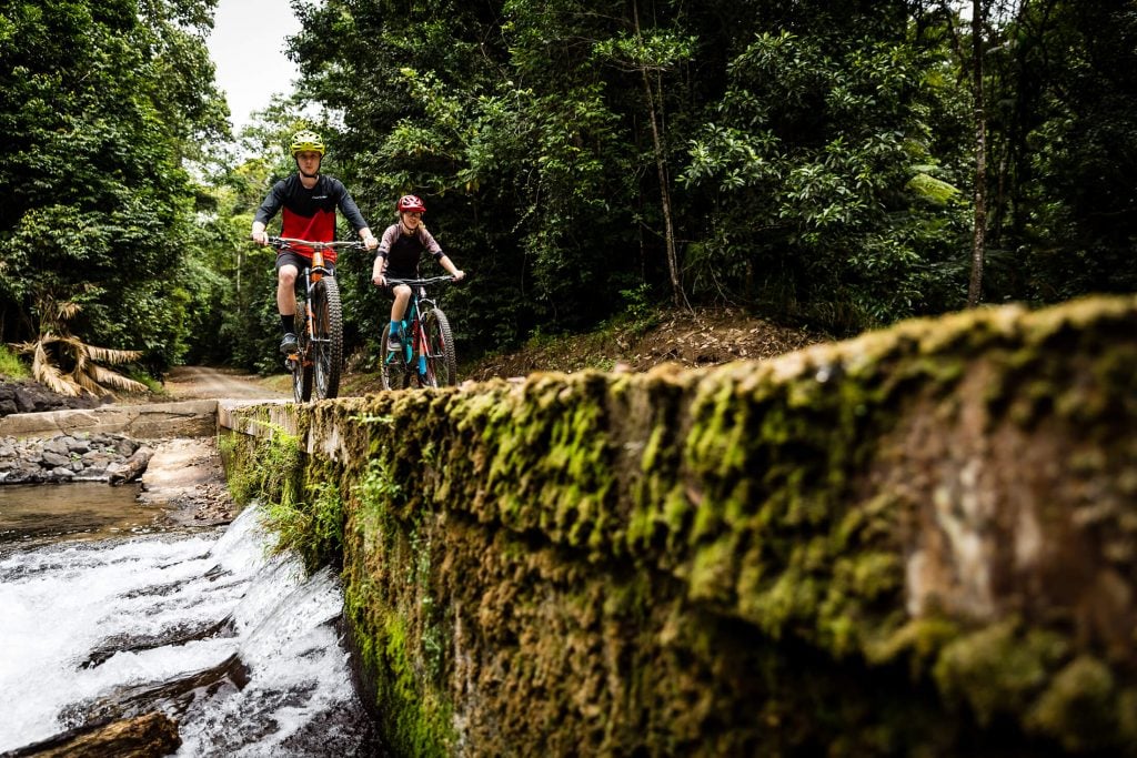
You'll encounter a creek crossing or two
You'll encounter a creek crossing or two
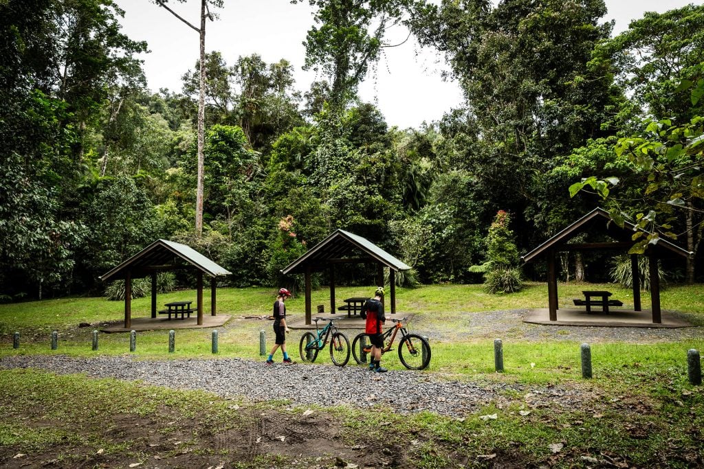
The term ‘trail’ may be a little misleading for some as several of the trails are actually shared roads, but that doesn’t take away from the thrill of climbing and winding your way through the bush via pedal power. If a more remote and rugged ride is what you’d come in search of then the trails thereafter at the end of K-Tree Road and onwards from South Johnstone Camp are what you’d enjoy.
South Johnstone Camp is a remote campsite deep in the Mamu Forest and greater Tully Gorge National Park, only accessible via K-Tree Road. This remote setting acts as the perfect spot to set up camp overnight or for a few days, whether it’s for an adventurous few days exploring the trails from this point onwards or nothing more than getting away from the busy pace of city life.
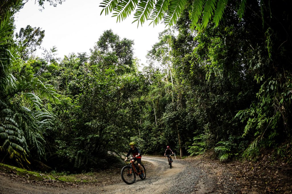
In search of more remote and rugged rides on K-Tree Road
In search of more remote and rugged rides on K-Tree Road
South Johnstone Camp is a remote campsite deep in the Mamu Forest
South Johnstone Camp is a remote campsite deep in the Mamu Forest
Trails go in every direction at a junction on K-Tree Road
Trails go in every direction at a junction on K-Tree Road
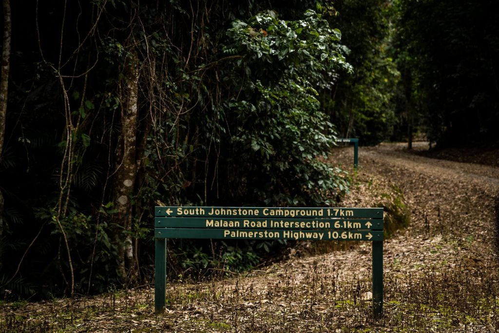
Just three kilometres further on from the campsite lays the entrance to the famous Gorrell Track
Just three kilometres further on from the campsite lays the entrance to the famous Gorrell Track
Just three kilometres further on from the campsite lays the entrance to the famous Gorrell Track. Dubbed as one of the tougher mountain biking tracks in the region and not for the faint-hearted, it is known to have snakes slithering across it as a cyclist comes buzzing past and is notoriously tricky in the way of logistics. At close to 20km long, the trail will take the better part of the day and is suitable for advanced riders only.
As we found out, it is worth checking to see if the Gorrell Track is open before venturing out to it, as the wet season can often cause damage that may go unrepaired for several months. My advice, look to see who offers a shuttle service for this trail, or be prepared and leave a vehicle at the opposite end.
At close to 20km long, the trail will take the better part of the day and is suitable for advanced riders only.
Innisfail is the easiest way in if coming from the north, but for those heading up from Cardwell or further afield then access via Tully is also possible. Entry is a little tricky, but more rewarding for those searching for remote adventures. Coachable Creek Causeway is meant to be worth riding as well as other trails further up into the Tully Gorge.
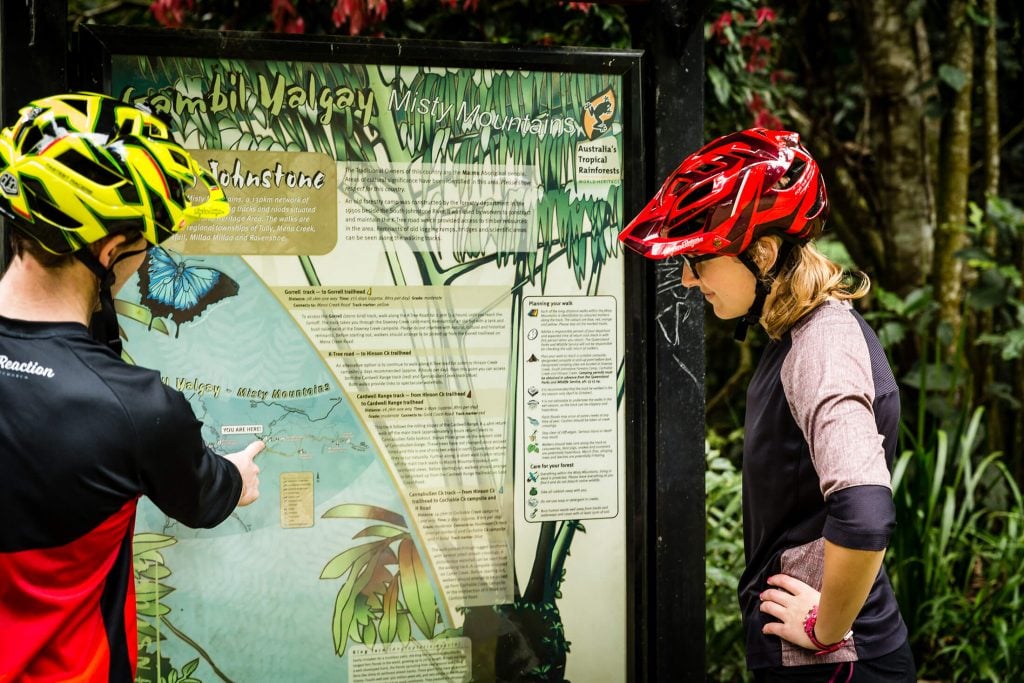
Information can be hard to find on alternative trails within the Misty Mountains, but there is plenty to ride or hike. This map shows other trails that are out there, and map stations situated throughout the bush and at other campsite show what you can expect nearby.
Information can be hard to find on alternative trails within the Misty Mountains, but there is plenty to ride or hike
Information can be hard to find on alternative trails within the Misty Mountains, but there is plenty to ride or hike
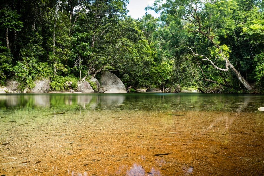
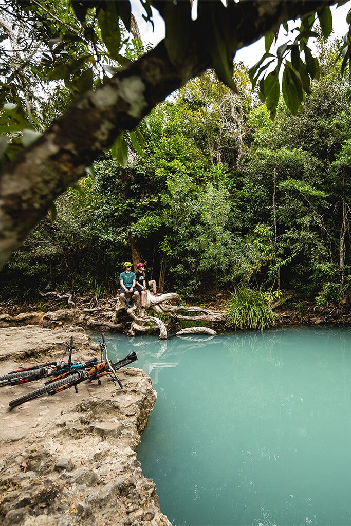
While in the area, cool off at Babinda Boulders
While in the area, cool off at Babinda Boulders
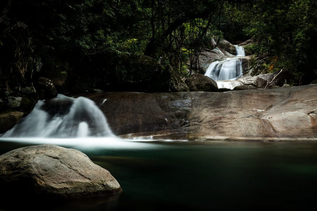
Don't forget, you're in waterfall country and Josephine Falls is worth the visit
Don't forget, you're in waterfall country and Josephine Falls is worth the visit
While in the area, it is worth noting that you are in Waterfall country. With the Tully Gorge National Park and Wooroonoran National Park on either side, you have days’ worth of watering holes to explore. Notably, the Babinda Boulders and Josephine Falls are worth heading to on your way down from Cairns before passing through Innisfail.