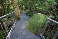
Josephine Falls walking track, Wooroonooran National Park
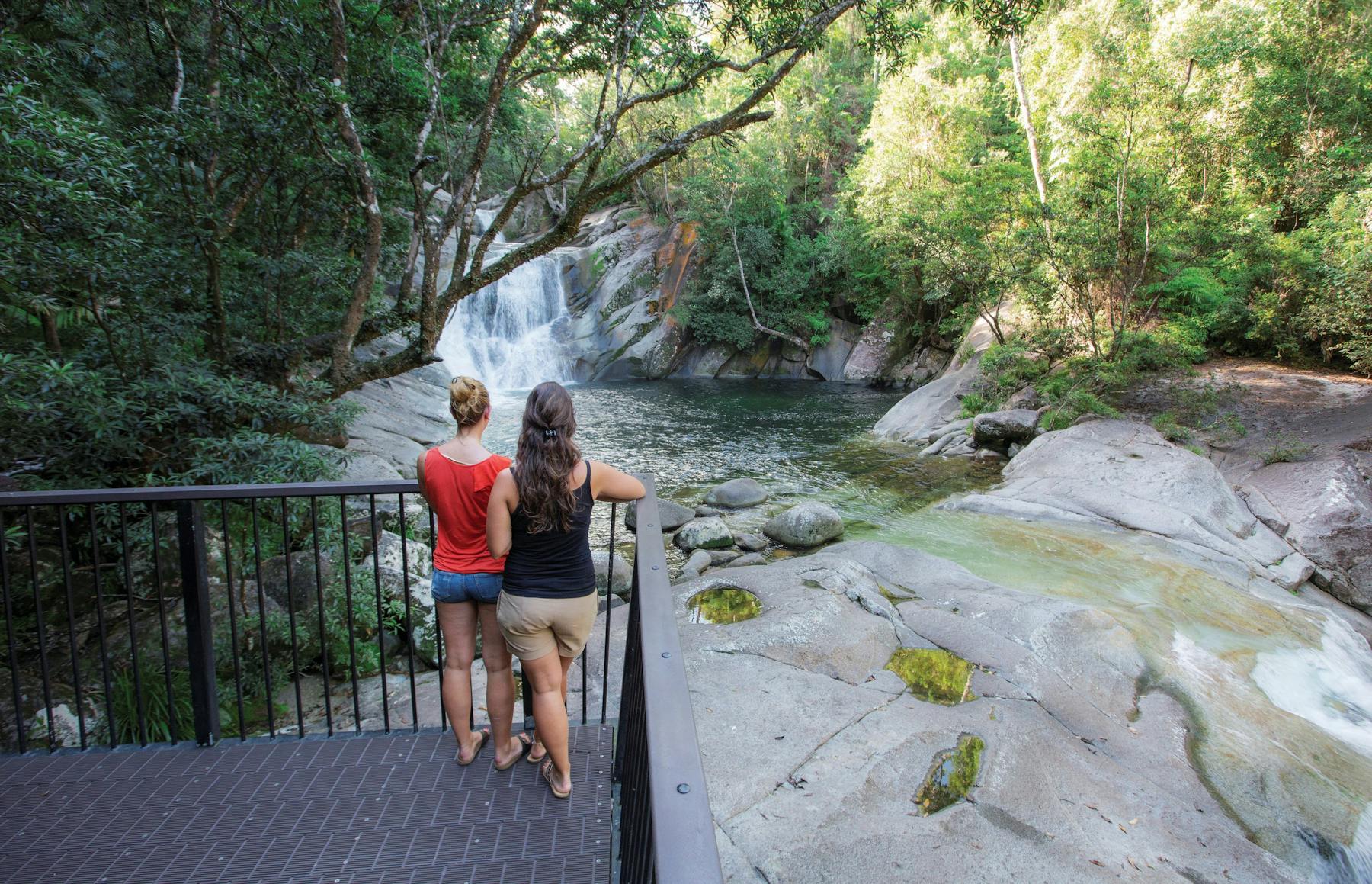
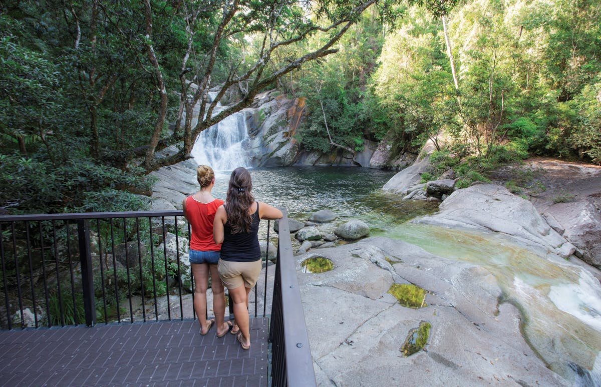
Josephine Creek starts as a gentle trickle high on the summit of Queensland’s highest mountain, Bartle Frere. By the time it has travelled the 7.5 kilometres to the smooth granite boulders of Josephine Falls, it is a thundering torrent that will take your breath away.
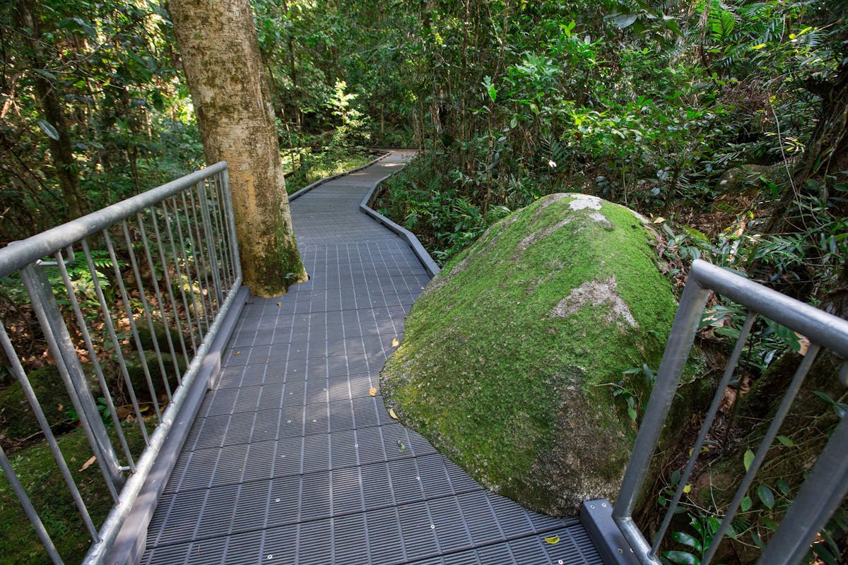
Enjoy the 1.2 kilometre return walk through lush, world heritage-listed rainforest to viewing decks over the picturesque falls.
Josephine Falls is an extremely refreshing place to visit—but it is also potentially dangerous. Flash flooding (rapidly rising water) can occur at Josephine Falls at any time of the year. Even when conditions at Josephine Falls are sunny and dry, rain in its upper catchment can cause water levels at Josephine Falls to rise rapidly, without warning. People (even strong swimmers) regularly become isolated in the middle of the creek or on the far bank and require rescuing—endangering their lives and those of others.
For your safety, access to the top section of the falls is prohibited. Please keep out of the signposted restricted access area, as serious injuries and deaths have occurred here. Penalties apply. Obey all safety signs and only swim in the designated area. Never jump or dive into water—there may be submerged objects. Leave the water immediately if it changes colour or the water levels rise—these are signs of flash flooding.
Location
Facilities
Disabled access available, contact operator for details.

