Dimbulah
Dimbulah is the gateway to the Hodgkinson Goldfield, which was settled in 1876. Tyrconnell, Kingsborough and Mt Mulligan were towns which developed around crushing mills along the Hodgkinson River.
By 1880, four years after the discovery of minerals, the population in this area reached nearly 10,000 with settlements also including Thornborough, Beaconsfield and Northcote. Most towns were temporary with settlers doing the wheelbarrow act to move to new strikes.
By mid 1901, John Moffatt’s mining company completed a private rail link from Mareeba to Chillagoe linking the mining fields to Cairns port. Dimbulah was the junction for rail lines both north and south to the mining areas. A tent camp developed to service the train with water supplies from the permanent waterhole. This permanent Walsh River water source is actually the origin of the town’s name – local Barbaram Aboriginal dialect for ‘long, permanent waterhole’.
Modern day Dimbulah still relies on water, however, it is agriculture which makes the money. The 1950’s Tinaroo-Dmbulah irrigation scheme ensured the viability of agricultural industries. Initially tobacco was the crop of choice, however, since the demise of the tobacco industry, alternate crops have included ti-tree, mango plantations, native trees and sugarcane.
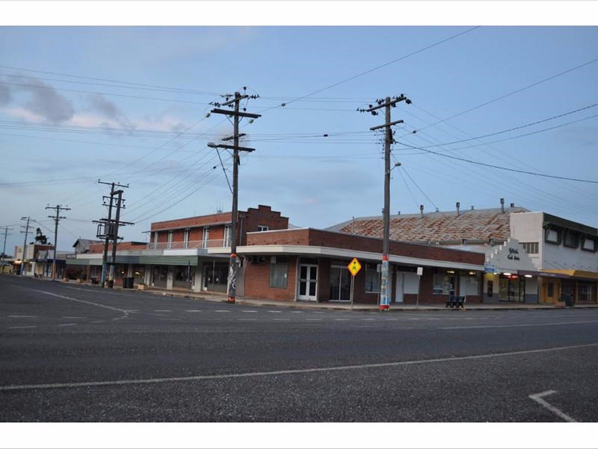
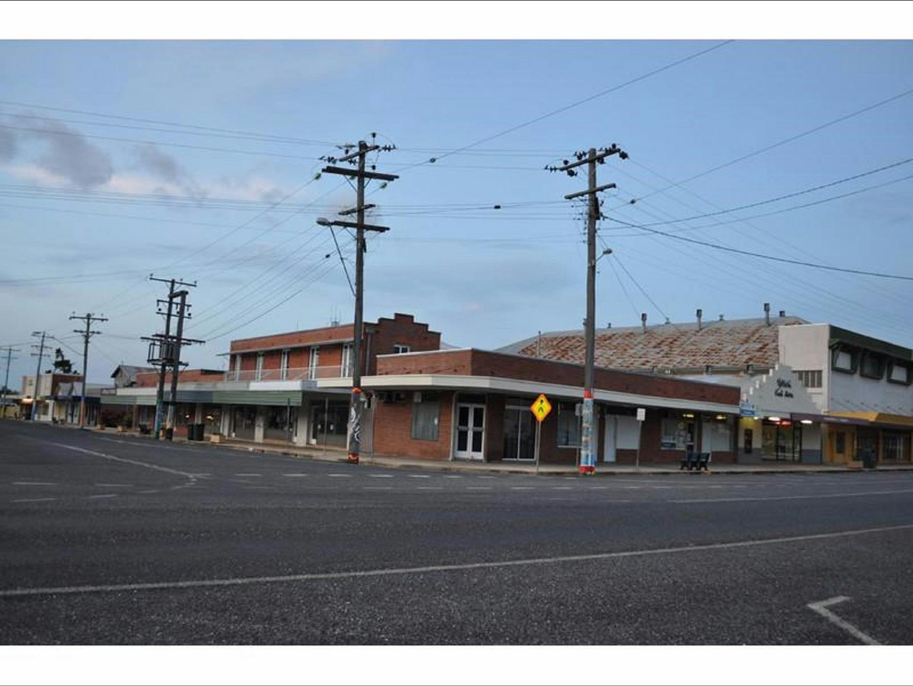
Dimbulah has a restored rail station for The Savannahlander line between Cairns and Forsayth. You can read interpretive panels here on the town’s history. There’s an excellent, well-serviced caravan park set in gardens, a supermarket and a butcher plus petrol stations and mechanical repair services. Centuries on Dimbulah still remains a good watering place.
Location
Dimbulah


