Goldsborough Valley, Wooroonooran National Park
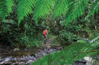
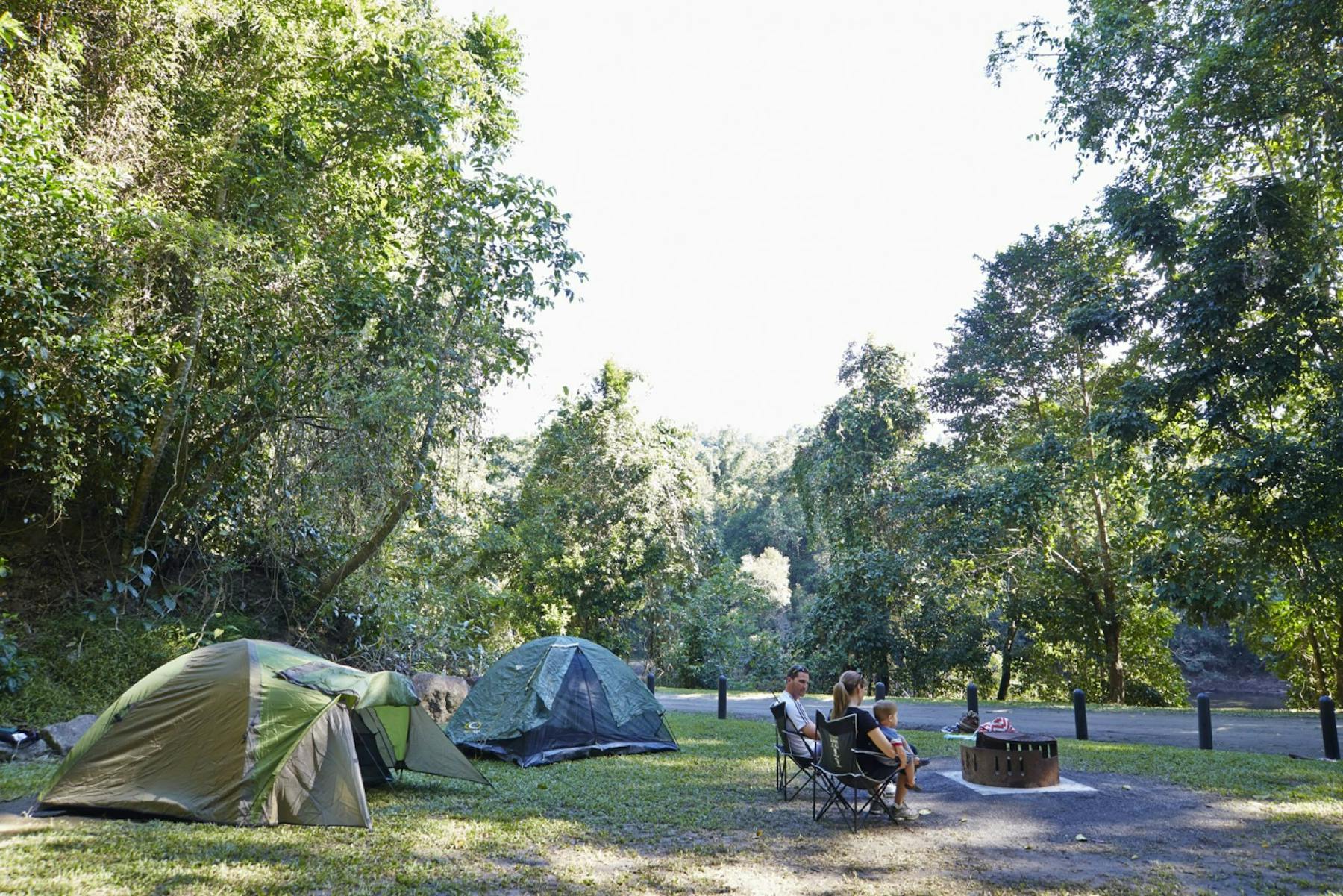
Nestled below the rugged Bellenden Ker Range, the picturesque Goldsborough Valley is cloaked in lush lowland rainforest along the clear flowing waters and deep pools of the Mulgrave River.
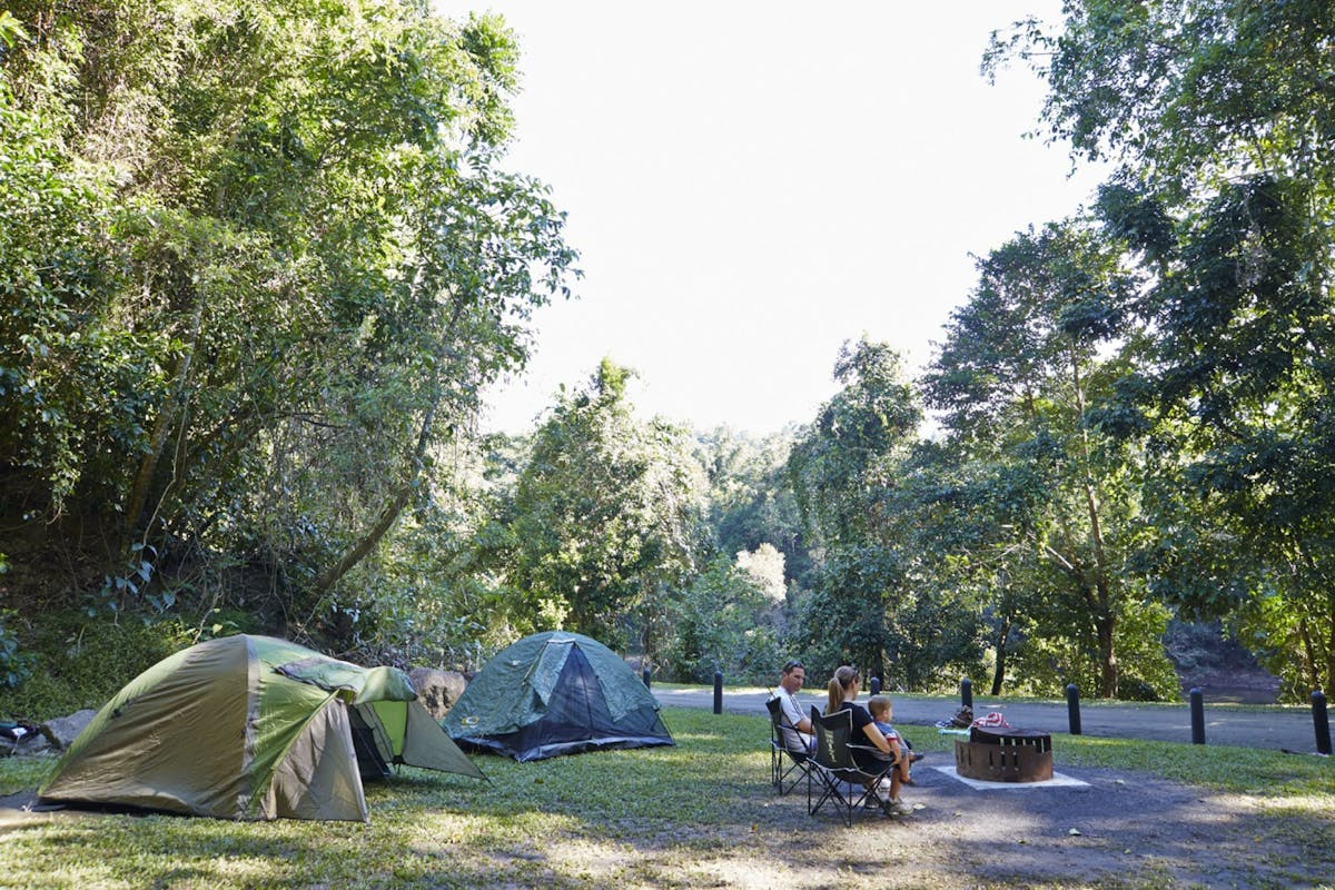
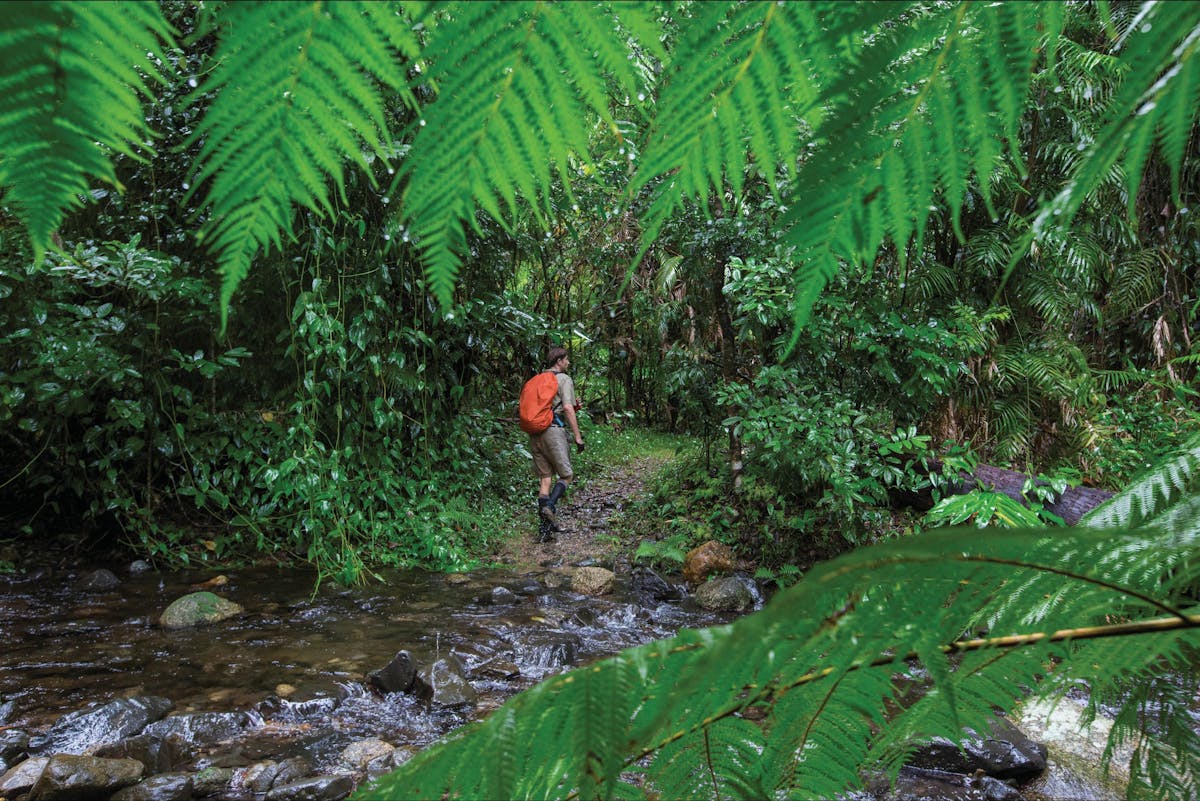
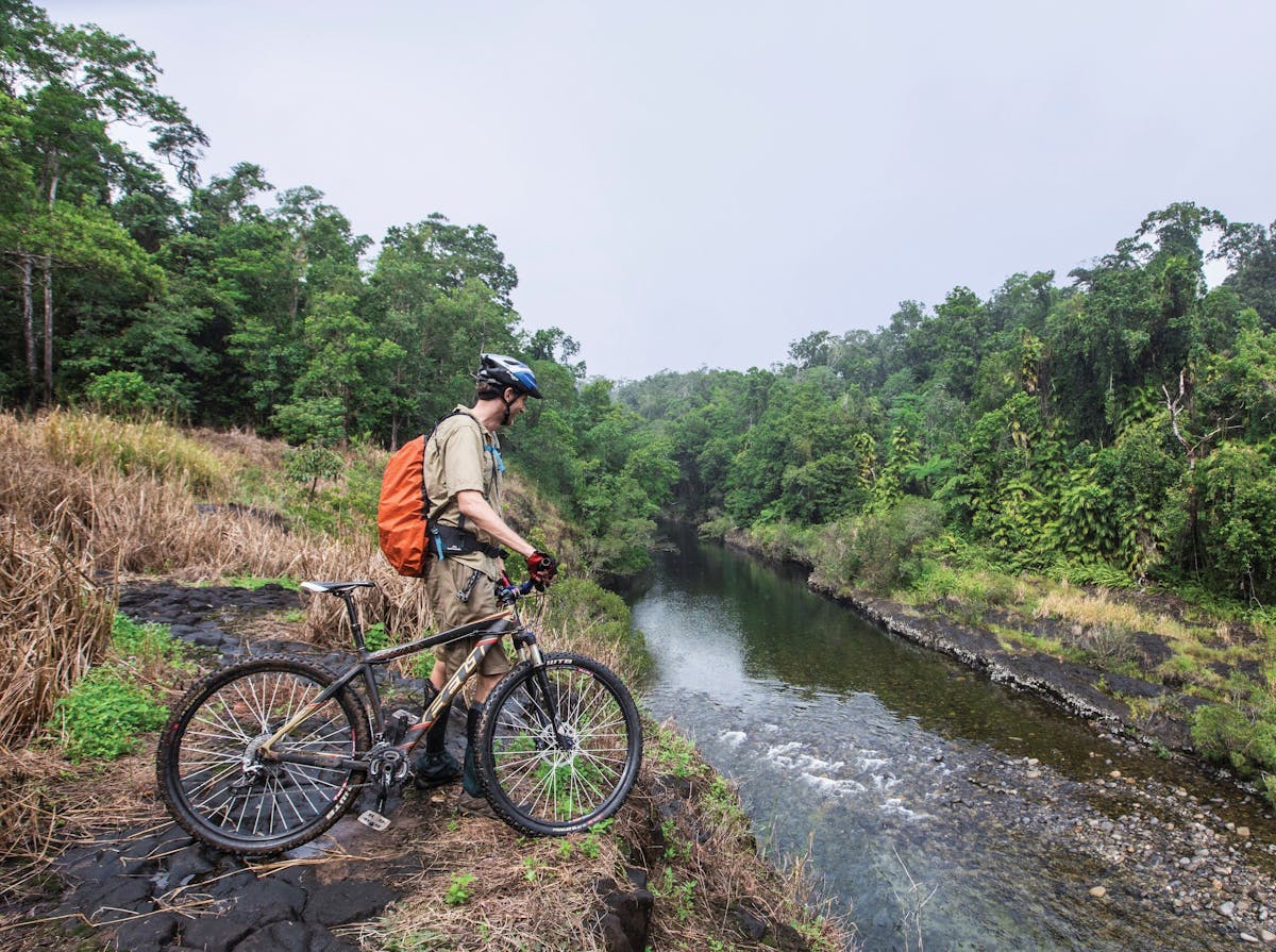
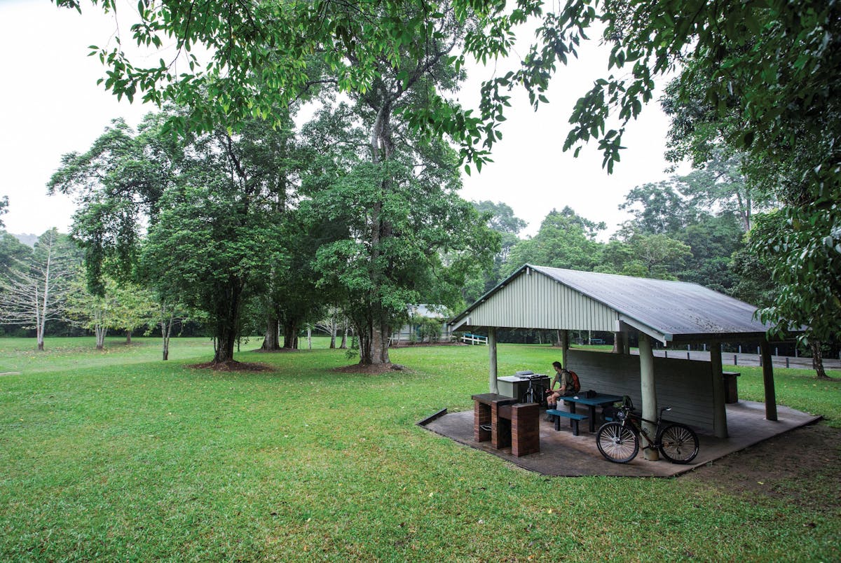
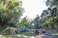
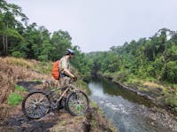
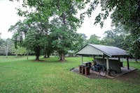
Enjoy a relaxing picnic by the river or set up camp in the spacious camping area. Canoe on the river (best between March and May) or ride a mountain bike 8km one way along the Goldfield trail to the East Mulgrave causeway. The more adventurous can embark on a hike along the 19 kilometre one-way Goldfield trail, which will take you over a saddle between Queensland’s two highest peaks (Bartle Frere and Bellenden Ker) to the Boulders Scenic Reserve near Babinda.
This area is the traditional country of the Dulabed and Malanbarra Yidinji Aboriginal people. The Dulabed and Malanbarra Yidinji people have an intimate knowledge of the rainforest and the seasonal availability of local bush foods. They have a strong and continuing connection to the area today. Read more about the traditional culture from a series of signs in the camping and day-use areas.
Wooroonooran National Park stretches along the coastal hinterland from Innisfail to Gordonvale and is part of the Wet Tropics World Heritage Area.
Location
Facilities
Disabled access available, contact operator for details.
-
Barbeque
-
Carpark
-
Family friendly
-
Picnic area
-
Public toilet
Accreditations
Goldsborough Valley, Wooroonooran National Park
